
Independent Risk Intelligence
Make Smarter Decisions
About Your Home's Future.
Simple, clear disaster risk insights for every U.S. property. We help you understand environmental exposure before you buy, sell, or insure.
Protecting Your
Long-Term Investment
A home is more than just a house—it's your biggest financial asset. Understanding natural disaster risks helps you prepare, mitigate, and protect your equity.
Financial Due Diligence
Unseen hazards can lead to sudden asset depreciation.
Insurance Underwriting
Premiums are increasingly dictated by granular risk metrics.
Institutional Standards
Lenders now utilize advanced data to determine viability.
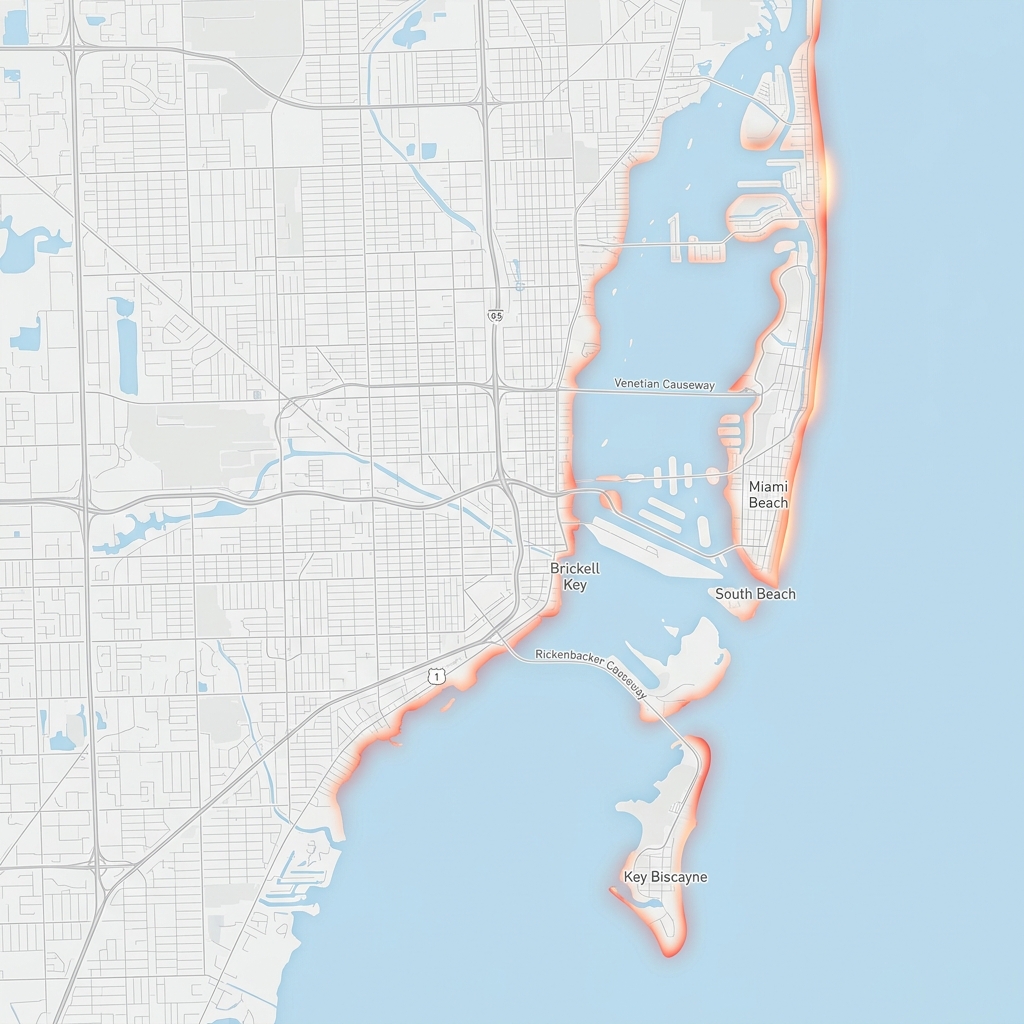
Flood & Water
Analysis of coastal storm surge and localized flash flooding risk.
Explore Flood IntelligenceThe Road to Resilience
We guide you through a systematic process to identify, verify, and mitigate property risks.
Search
Identify base risk layers for any address.
Ask
Request disclosures and CLUE reports.
Verify
Hire specialists for site inspections.
Insure
Get binding quotes for all perils.
Mitigate
Assess costs for physical hardening.
Protecting Your Home & Family
A closer look at the natural events that can affect your property and what they mean for your safety.
Flood & Inundation
Analysis of coastal storm surge and inland flash flood potential.
Wildfire Exposure
Ember cast zones and WUI risk metrics for home safety.
Hurricane & Wind
Historical storm tracks and peak wind speed probabilities.
Seismic Activity
Fault line proximity and peak ground acceleration data.
Severe Storms
Historical frequency of convective events and hail damage.
Risk Methodology
How we synthesize FEMA and NOAA data into risk scores.
Insurance & Ownership Implications
Environmental risk is a primary driver of homeownership costs and insurance stability.
Understand Insurance ImpactUnderwriting Trends
How carriers use geospatial data to adjust capacity.
Flood Insurance (NFIP)
Requirements for properties in high-risk zones.
Resale Liquidity
Impact of risk disclosures on time-on-market.
Mitigation Incentives
Premium credits for home hardening upgrades.
Transparent & Public Data Sourcing
CheckDisaster synthesizes data from multiple official U.S. government sources, including the FEMA National Risk Index (NRI), NOAA Storm Events Database, and USGS Earthquake Hazard Program.
Professional Disclaimer
CheckDisaster provides risk estimates based on publicly available historical data and regional modeling. These scores are for educational use and do not constitute an official FEMA determination, home inspection, or structural survey. Users should verify data with local authorities, insurers, and licensed professionals before making financial decisions.
Frequently Asked Questions
Clear answers to common questions about disaster risk and our intelligence platform.
Is CheckDisaster free to use?
Yes. CheckDisaster is a 100% free tool designed to provide property risk transparency for the public. We do not require a sign-up or credit card.
Is CheckDisaster a government website?
No. CheckDisaster is a private platform that utilizes official U.S. government public datasets to create visual risk reports for users.
What data sources are used for the reports?
We pull data from the FEMA National Risk Index, NOAA Historical Storm Tracks, and USGS Seismic hazard datasets, among other public geospatial pipelines.
Is the risk score an official determination?
No. Our scores are estimates based on regional historical data. They should not be used as the sole basis for purchasing insurance or making structural decisions.
How often is the risk data updated?
We sync with our public data sources monthly to ensure the most recent FEMA and NOAA benchmarks are reflected in our reports.
Can disaster risk affect my property value?
High environmental risk can influence buyer sentiment, insurance costs, and long-term property liquidity, which may impact market value.
Should I use this before buying a house?
Absolutely. Understanding risk is a vital part of financial due diligence. We recommend using our reports as a starting point for further investigation with local experts.
Does flood risk affect insurance availability?
In some high-risk coastal zones, standard insurance may be restricted, requiring specialized policies like NFIP for flood or state-run FAIR plans for fire.
Regional Risk Benchmarks
How different regions compare in environmental exposure. National averages based on normalized FEMA NRI benchmarks.
Gulf Coast
Hurricane & Surge
West Coast
Seismic & Fire
Midwest
Tornado & Flood
Risk Intelligence Resources
Explore in-depth guides for specific environmental perils.